Why Choose Us
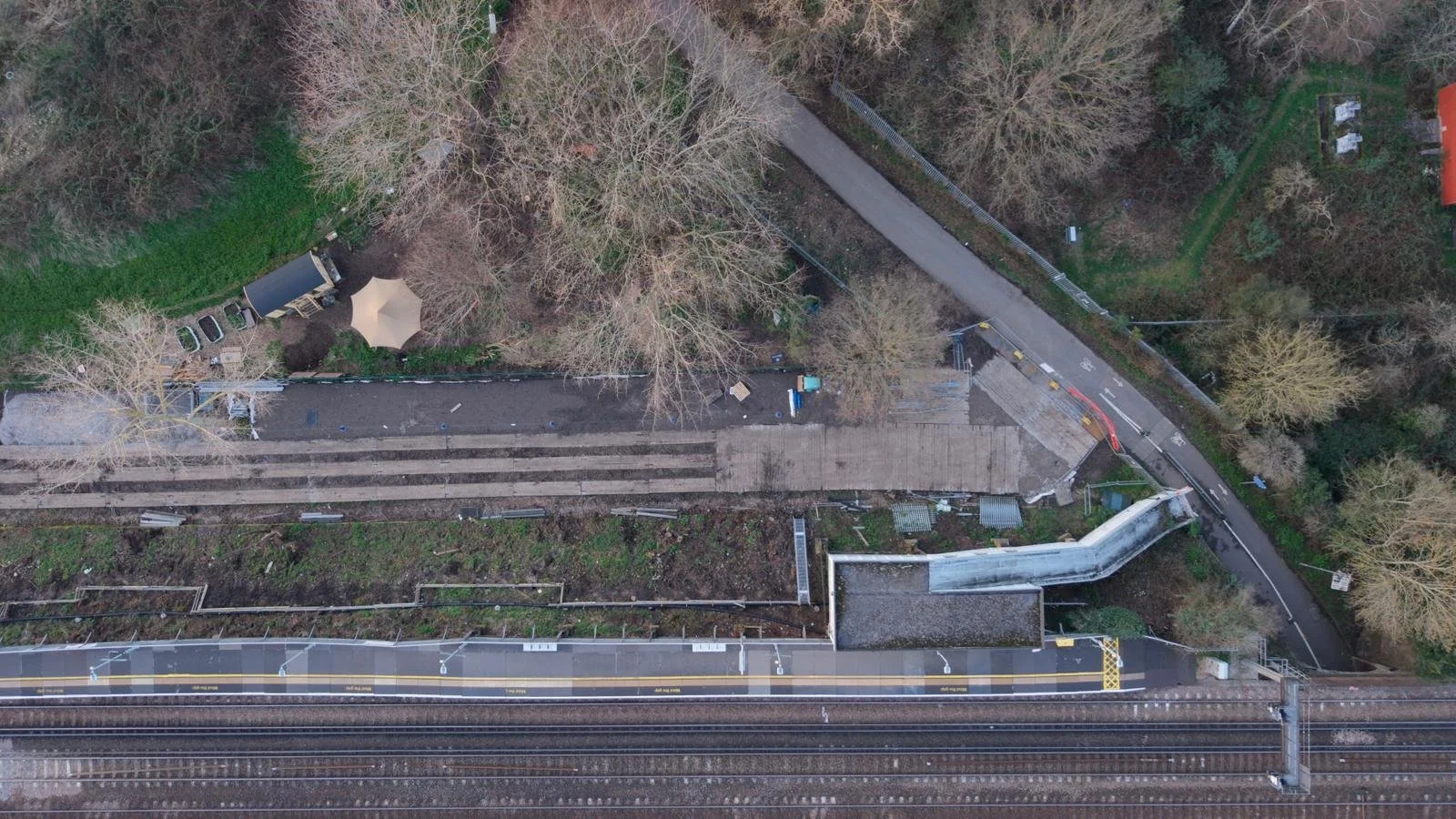
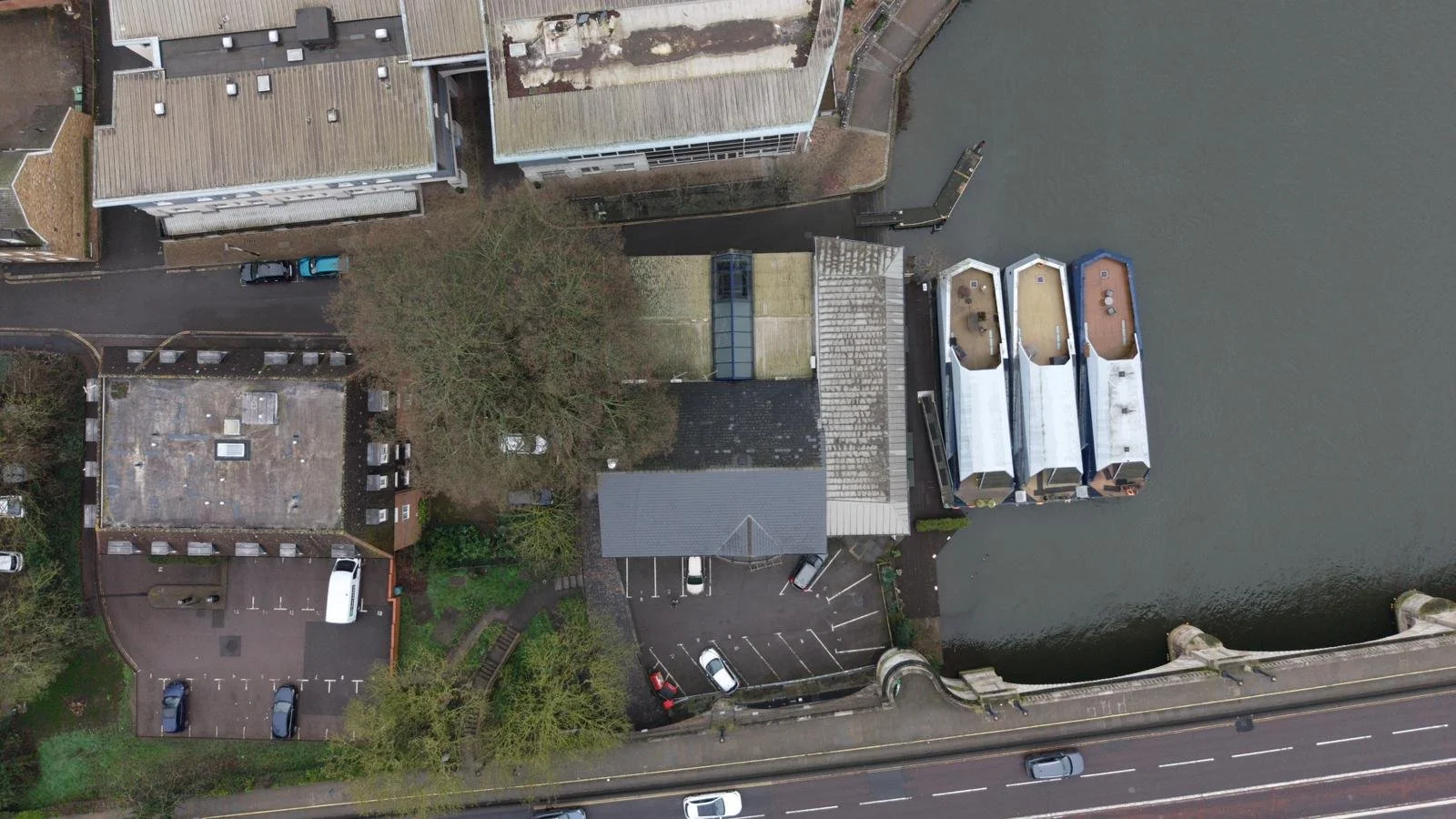
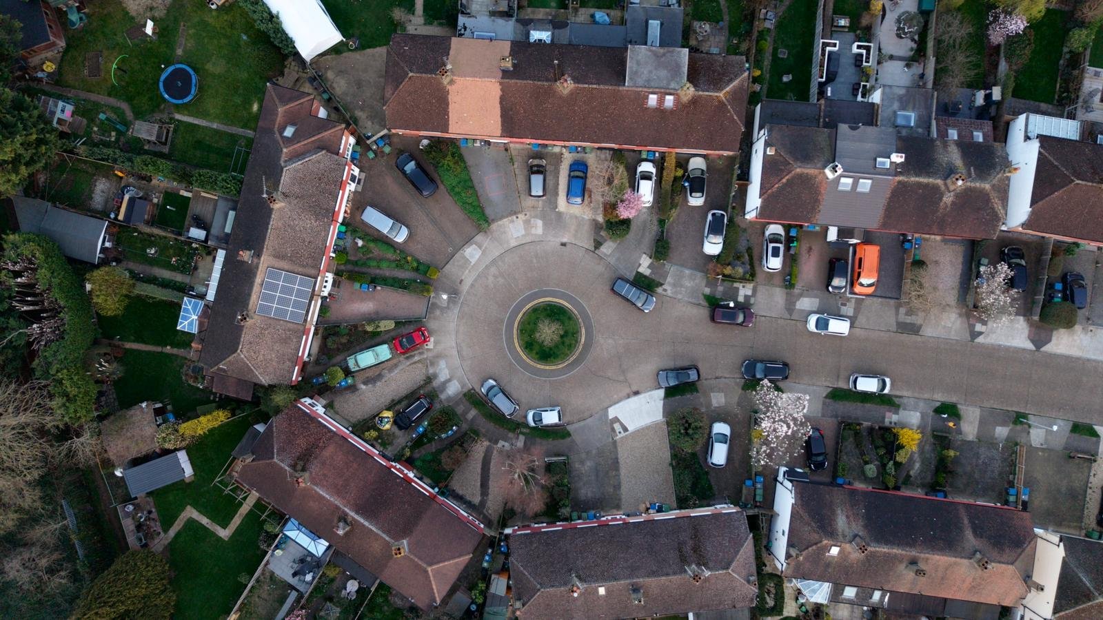
Advanced UAV Technology
We use professional drone systems capable of capturing ultra-high-resolution imagery and accurate geospatial data.
Precision Data
Our aerial surveys deliver highly detailed mapping and imaging that supports engineering, planning, and property decisions.
Faster Project Turnaround
Drone surveys are significantly faster than traditional surveying methods, reducing delays and improving project efficiency.
Improved Safety
UAV inspections remove the need for risky manual access to roofs, structures, and difficult terrain.
Cost-Effective Solutions
Drone services provide detailed survey information at a fraction of the cost of traditional inspection methods.
Professional Reporting
All projects include clear imagery, data outputs, and structured reporting for professional use.